
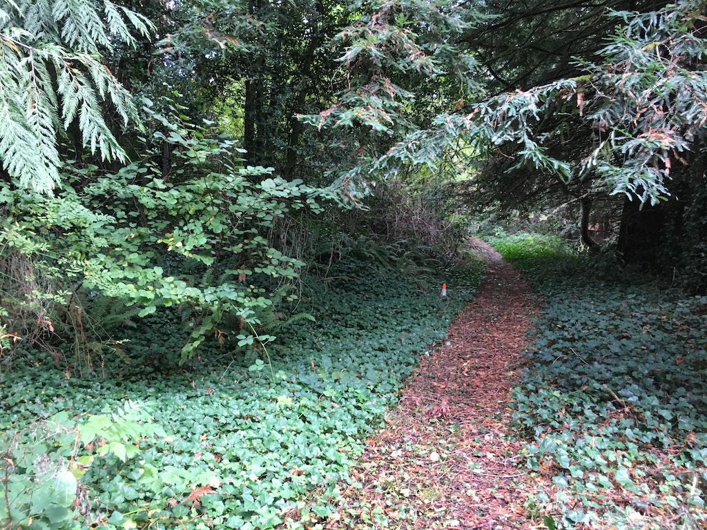
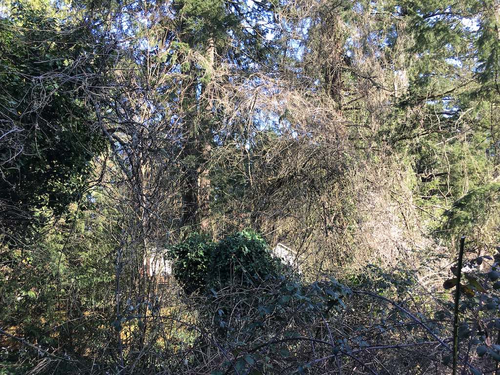
This mostly hidden trail headed downhill from Shattuck to Ivy Creek then back up the far side until it dead ended at an overgrown residential back yard.
Friday, October 16, 2020
google map ![]() 45.4899410, -122.7286788
45.4901441, -122.7293869
45.4902268, -122.7280404
45.489644444444444, -122.72864444444444
45.4899410, -122.7286788
45.4901441, -122.7293869
45.4902268, -122.7280404
45.489644444444444, -122.72864444444444
We found the creek but haven't yet identified it by name.
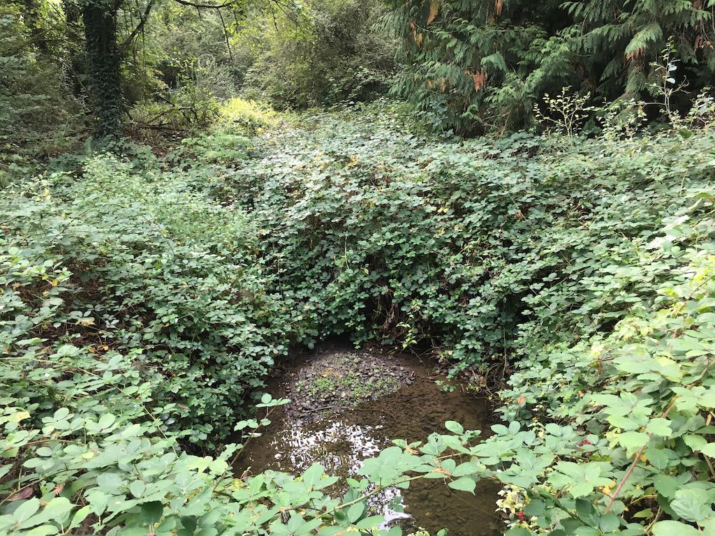
We're unsure exactly were we were after some careless GPS fixes and failing to emerge on the far side.
Wednesday, March 17, 2021
45.48951388888889, -122.72854722222222
google map ![]() 45.489494444444446, -122.72854722222222
45.48947777777778, -122.72853055555555
45.4897304, -122.7278265
45.489494444444446, -122.72854722222222
45.48947777777778, -122.72853055555555
45.4897304, -122.7278265
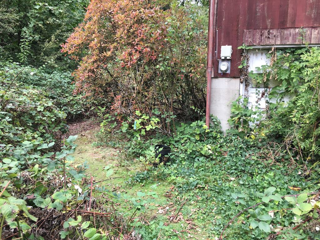
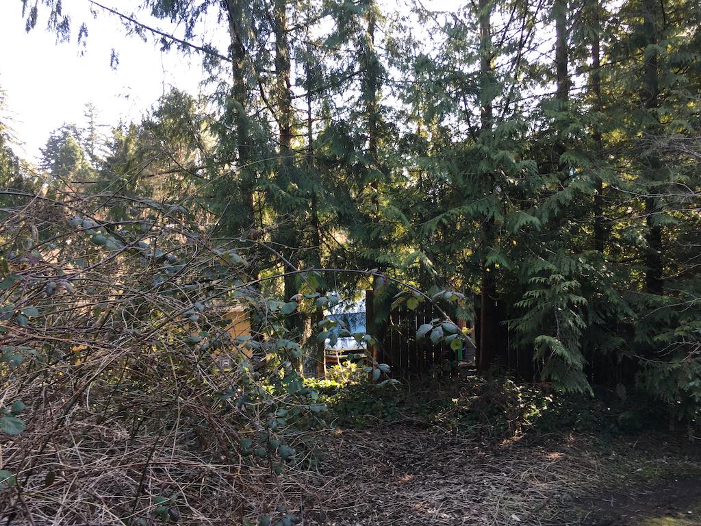
We return on a dry day to follow the trail around this house. It goes about six feet round the corner and stops at a back door still in dense foliage.
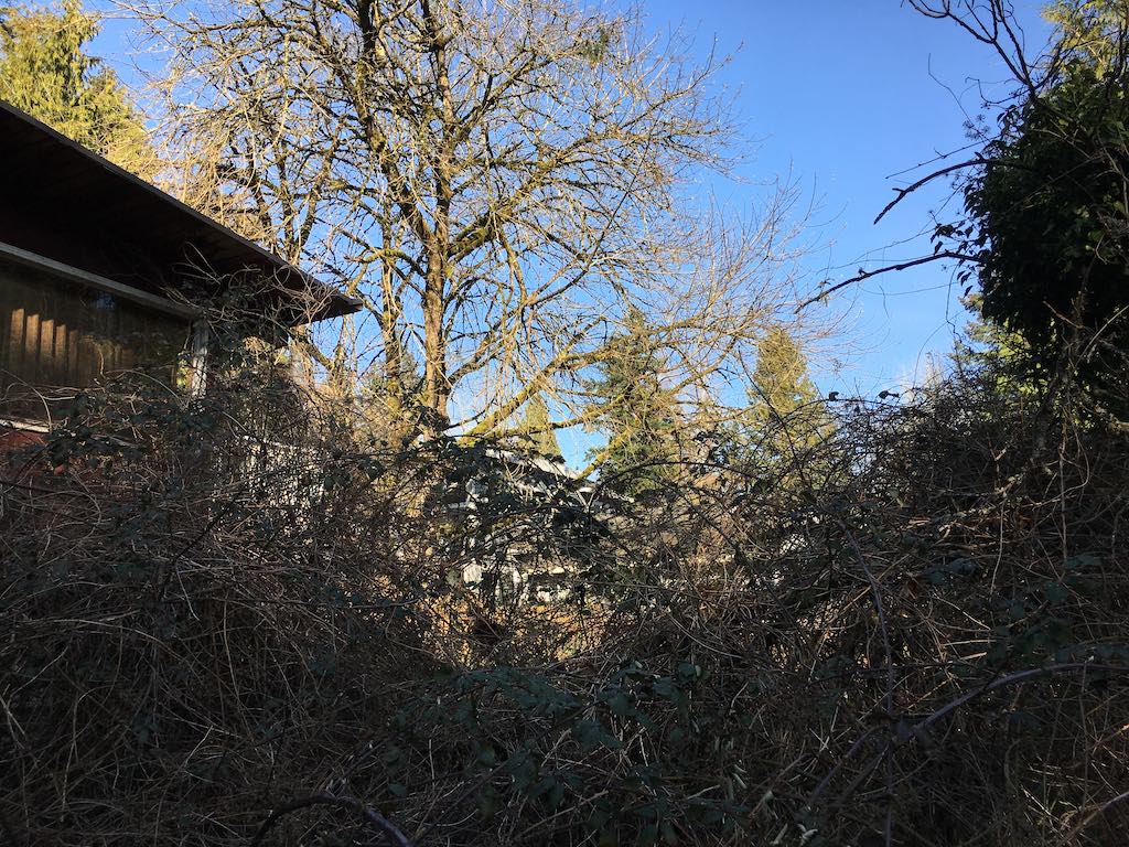
I hold my camera high, turn to the right about 60 degrees between each shot, take a new fix and shoot the nearby structures.
We're confident there is no other end of this trail and that the red building is pretty much abandoned. Here you can see it behind 4623 and 4635 on the cul de sac on SW 49th Ave. streetview ![]()
Google labels this building 4610 SW Shattuck Ave when older maps show SW 50th leading right up to the garage door. google map ![]()