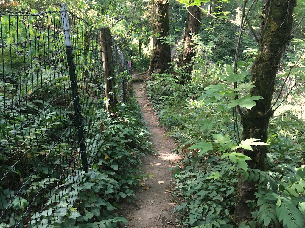
This well trod path was already marked as a destination for the day but became my last hope of seeing the back of the Arnold Creek Natural Area.
Sunday, September 5, 2021
45.4424083, -122.6938389
google map ![]() 45.4420611, -122.693475
45.4416861, -122.6929694
45.4417615, -122.6921904
BOUNDARY 45.4412312, -122.6962675
BOUNDARY 45.4453336, -122.6882730
45.4420611, -122.693475
45.4416861, -122.6929694
45.4417615, -122.6921904
BOUNDARY 45.4412312, -122.6962675
BOUNDARY 45.4453336, -122.6882730
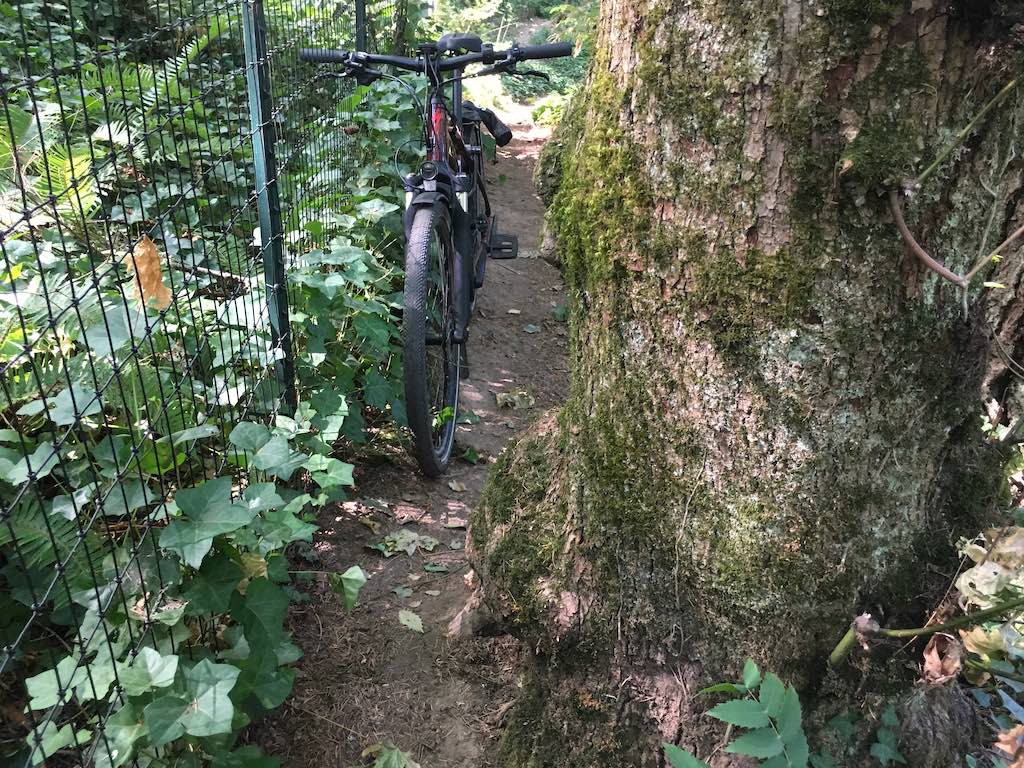
I was warned that the path might be impassible by bike. I could turn my handle bars to get past this tree but there was no way my pedals would fit. I continued on foot past the dip for one tributary but decided to save the rest for another day.