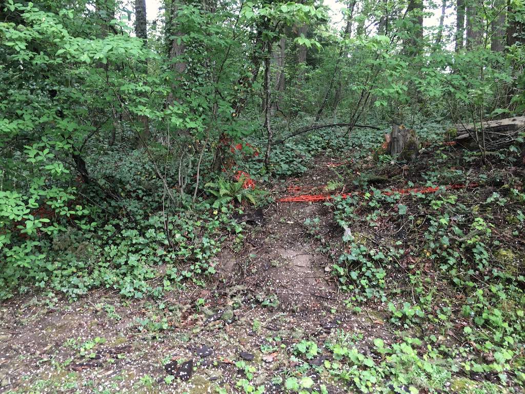
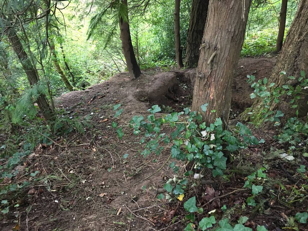
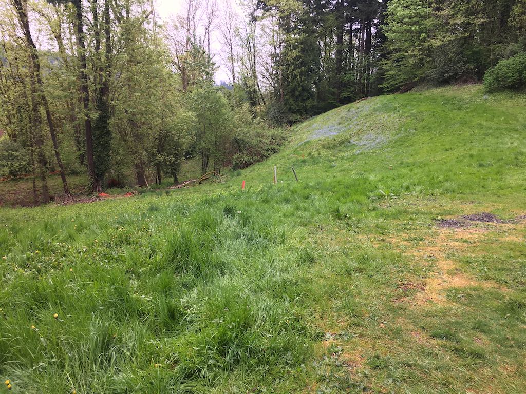
Red Electric railroad line included major “fills” now used as small roads which are running parallel but up the hill to the south of the Beaverton-Hillsdale Highway. post ![]()
Saturday, April 24, 2021
45.48235277777778, -122.71475277777778
google map ![]() 45.482216666666666, -122.71401944444445
45.48220833333333, -122.71393611111111
45.48229166666667, -122.71370833333333
BOUNDARY 45.4815005, -122.7158927
BOUNDARY 45.4832049, -122.7121988
45.482216666666666, -122.71401944444445
45.48220833333333, -122.71393611111111
45.48229166666667, -122.71370833333333
BOUNDARY 45.4815005, -122.7158927
BOUNDARY 45.4832049, -122.7121988
The railroad cuts and fills, abandoned since the 1930's, are visible in topographic maps. google ![]()