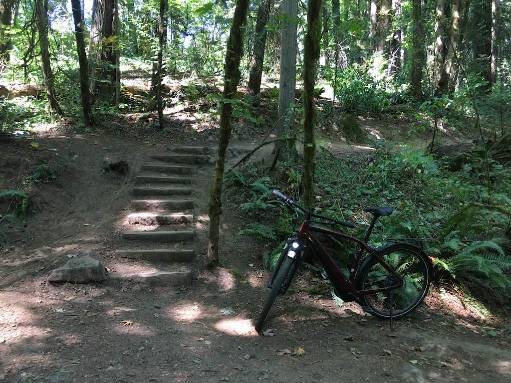
I entered the park at SW 18th Place and rode downhill until I reached the creek at the playground. Then rode up and out to SW 12th Drive.

Sunday, August 23, 2020
Location Details 45.4565177, -122.6954091 45.4553813, -122.6939338 45.4537557, -122.6913267
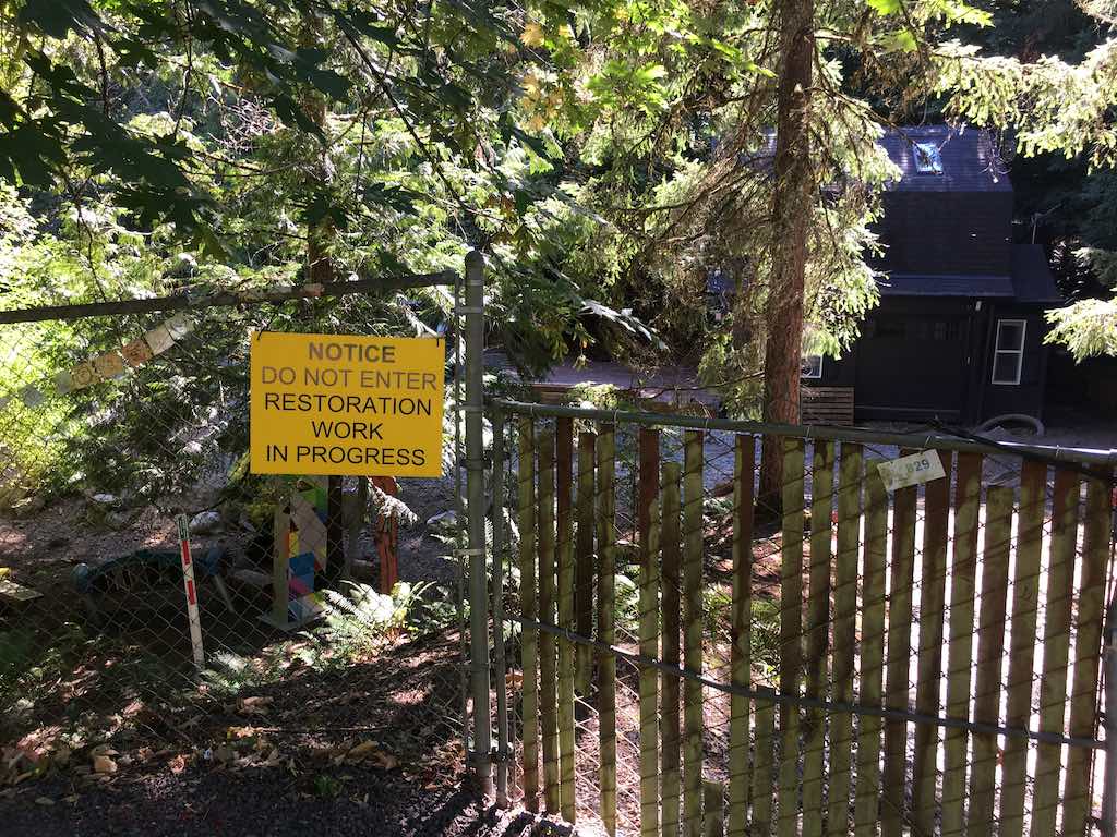
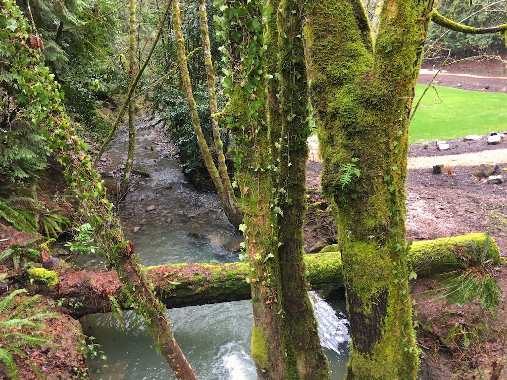
I rode the long way around east of the park so as to reenter on Maplecrest Drive. As I crossed the creek again I found a soon to be replaced trail headed north. To the south a fence blocked access to a park building and beyond that a large meadow extending back to the creek.

I returned to this location in the winter when I had a much improved view of Tryon Creek.

Saturday, January 30, 2021
On the climb up out of the creek valley my motor assembly started making grinding noises under load. I walked the bike up the hill while texting map locations to my wife who had a busy afternoon of errands without rescuing me.
Long walk uphill to our rendezvous. 45.4512194, -122.6919164 breakdown 45.4531559, -122.6994525 rendezvous BOUNDARY 45.4485785, -122.7031119 BOUNDARY 45.4571939, -122.6871935
The manufacturer will not allow my bike mechanic to open the motor housing. Instead they provided a warrantee replacement now installed and my bike returned two weeks later.
See also Marshall Proposed Trail System