
We follow the Westside Trail north from Hart Road to the Merlo Road transit station. See the southern segment we rode from Barrows to Hart Meadows Park.
Saturday, July 17, 2021
45.46633888888889, -122.84130833333333
google map ![]() 45.46842222222222, -122.84111666666666
45.47354444444445, -122.84069166666666
45.48933888888889, -122.83979166666666
45.492244444444445, -122.85016666666667
45.49225277777778, -122.84000277777777
45.49396111111111, -122.83985
45.502586111111114, -122.83856944444445
45.46842222222222, -122.84111666666666
45.47354444444445, -122.84069166666666
45.48933888888889, -122.83979166666666
45.492244444444445, -122.85016666666667
45.49225277777778, -122.84000277777777
45.49396111111111, -122.83985
45.502586111111114, -122.83856944444445
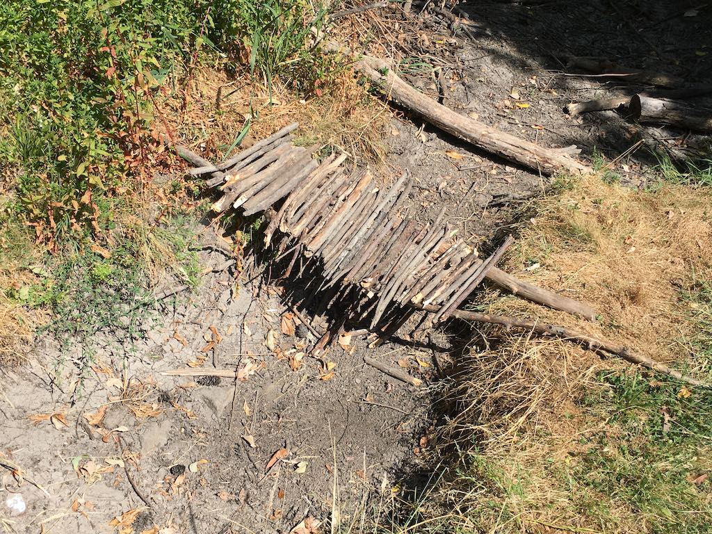
Twigs make for a doll house sized bridge over this tiny tributary to Johnston Creek.
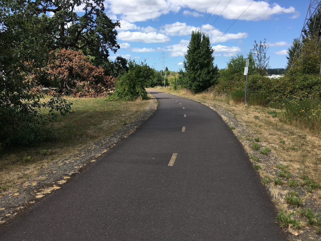
We were directed to cross the Tualatin Valley Highway at 170th and then rode back east to pick up the trail again.
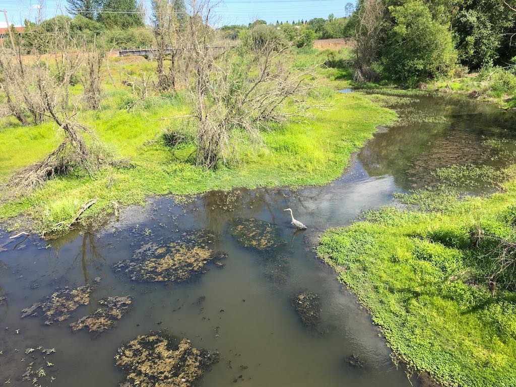
We look east into the Beaverton Creek Wetland.
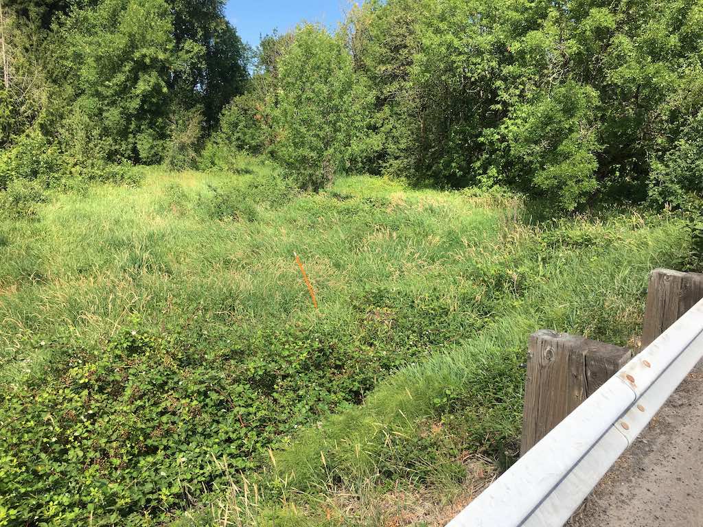
Another day with more time we would continue into the the nature park by this backdoor path.
