
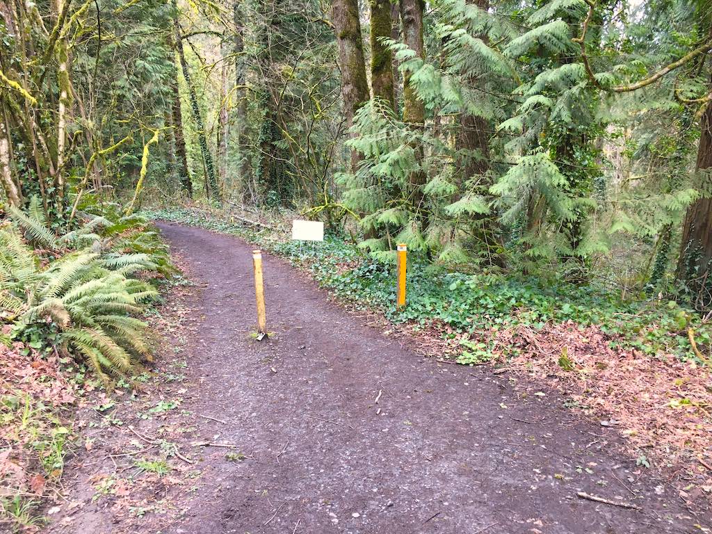
I rode this easy to find trail when I couldn't find the trail head for other nearby rides. This connects the unmissable Collins Court dead end with the invisible Lancaster Road trailhead tucked in behind a private driveway.
Saturday, August 22, 2020
Location Details 45.4563063, -122.7009237 45.4560429, -122.6973295 45.4562235, -122.6998615
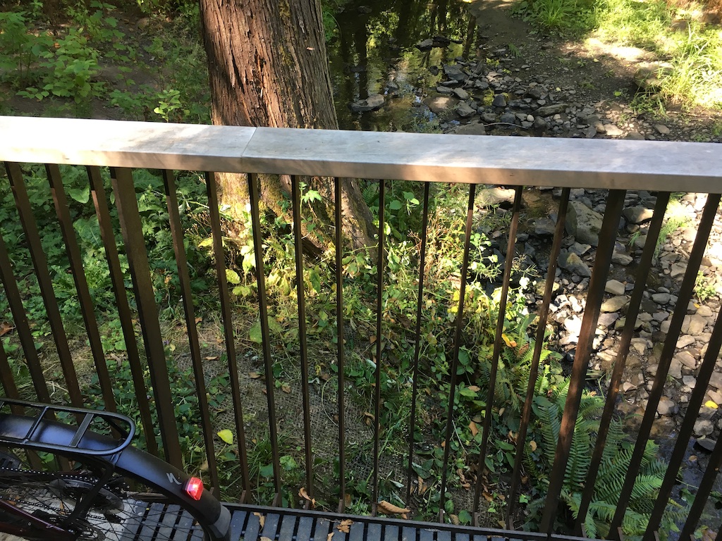
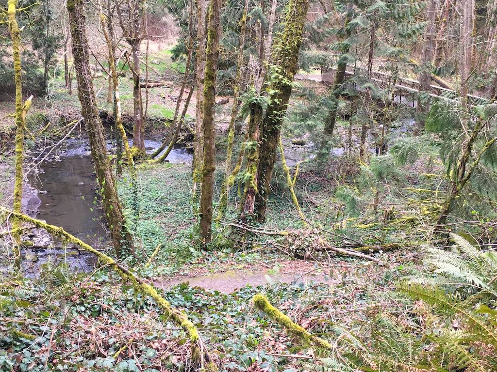
Traveling west, a gentle descent to the creek, a well-made bridge, and then a steeper climb up to road level again.
I return, this time spotting the trail from Lancaster Road. I wait patiently, then follow some hikers down the trail.
Thursday, March 25, 2021
45.45626388888889, -122.70094166666667
google map ![]() 45.45623888888889, -122.70018888888889
BOUNDARY 45.4547370, -122.7022401
BOUNDARY 45.4567439, -122.6983109
45.45623888888889, -122.70018888888889
BOUNDARY 45.4547370, -122.7022401
BOUNDARY 45.4567439, -122.6983109
It is interesting to compare the trail and creek detail in the street maps I now use vs the topo map I preferred documenting my first visit.
See Topo Map, Street Map
I don't think it is yet clear whether the bridge I have photographed twice crosses Tryon or Quail Creek which I followed earlier in the afternoon. See Quail Creek Trail