Now south of Bonita Road I can see the ground fall off behind every industrial building but nothing but chain link blocking my way until Durham Road is in sight.

Saturday, April 17, 2021
45.40406111111111, -122.75315833333333
google map ![]() 45.40423888888889, -122.75349444444444
45.40436666666667, -122.75375277777778
BOUNDARY 45.4023192, -122.7572823
BOUNDARY 45.4061835, -122.7497669
45.40423888888889, -122.75349444444444
45.40436666666667, -122.75375277777778
BOUNDARY 45.4023192, -122.7572823
BOUNDARY 45.4061835, -122.7497669
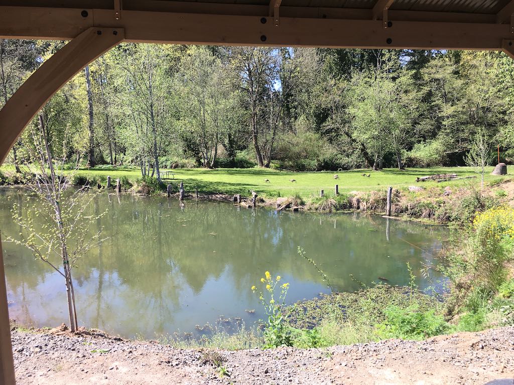
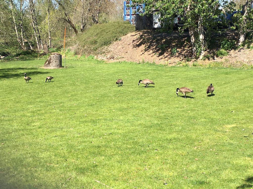
I rested in the shade of a covered picnic table and watched geese wander on the far side of the pond.

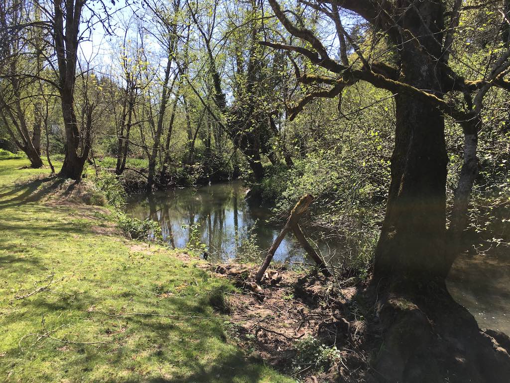
I found gravel ramps both north and south. I took one down to the meadow and the other back up. I rode very slowly along the creek so as to not send the geese to flight.
