
Creeks disrupt development and make room for parks which is where we find trails and bridges.
We make a page for a creek when we encounter it more than once or twice as we wander. We then focus our attention to additional access points we may have missed.
crossing
.
We focus on westside creeks: north of Tualatin, west of Willamette, south of Skyline.
Beaverton and Fanno Creeks dominate this area with one heading west, the other south.
See Oregon Water Resources Department. site ![]()
Oregon Explorer watershed and river viewer. site ![]()
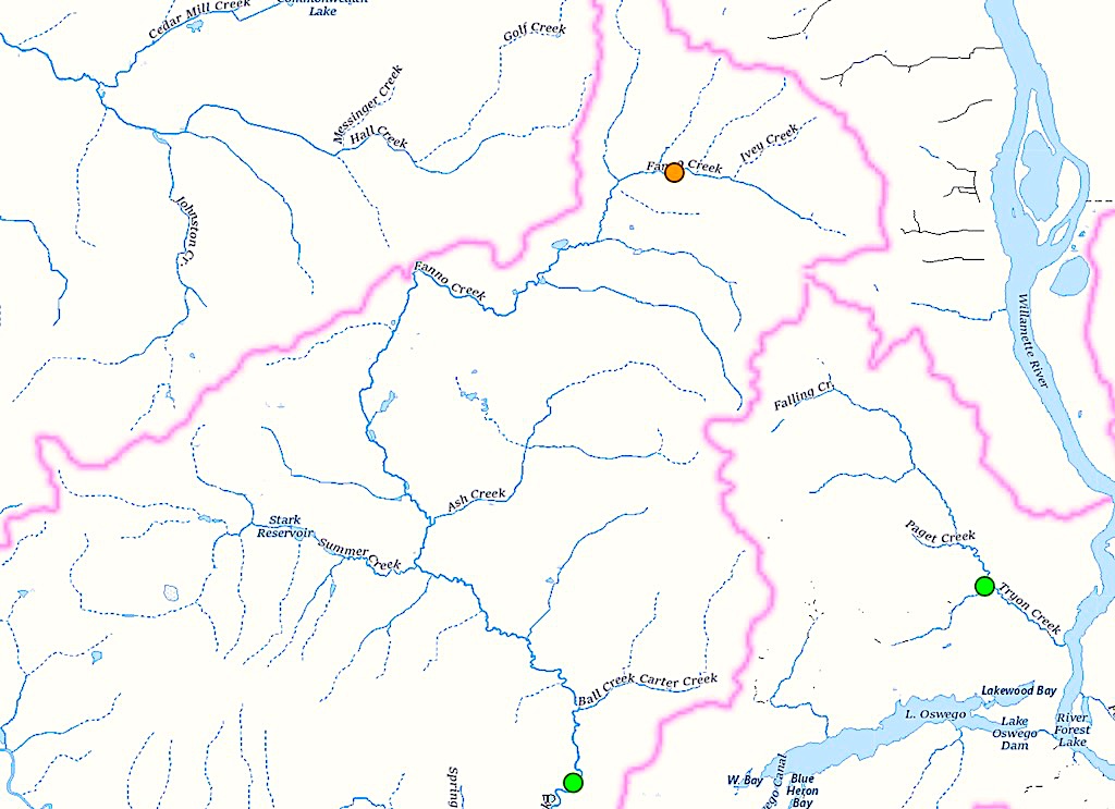
OVERLAY http://trails.ward.asia.wiki.org/assets/pages/pandemic-wandering/fanno-creek-watershed.jpg 45.4003109, -122.8674870 45.5128174, -122.6499923 BOUNDARY 45.5128174, -122.6499923 BOUNDARY 45.4003109, -122.8674870
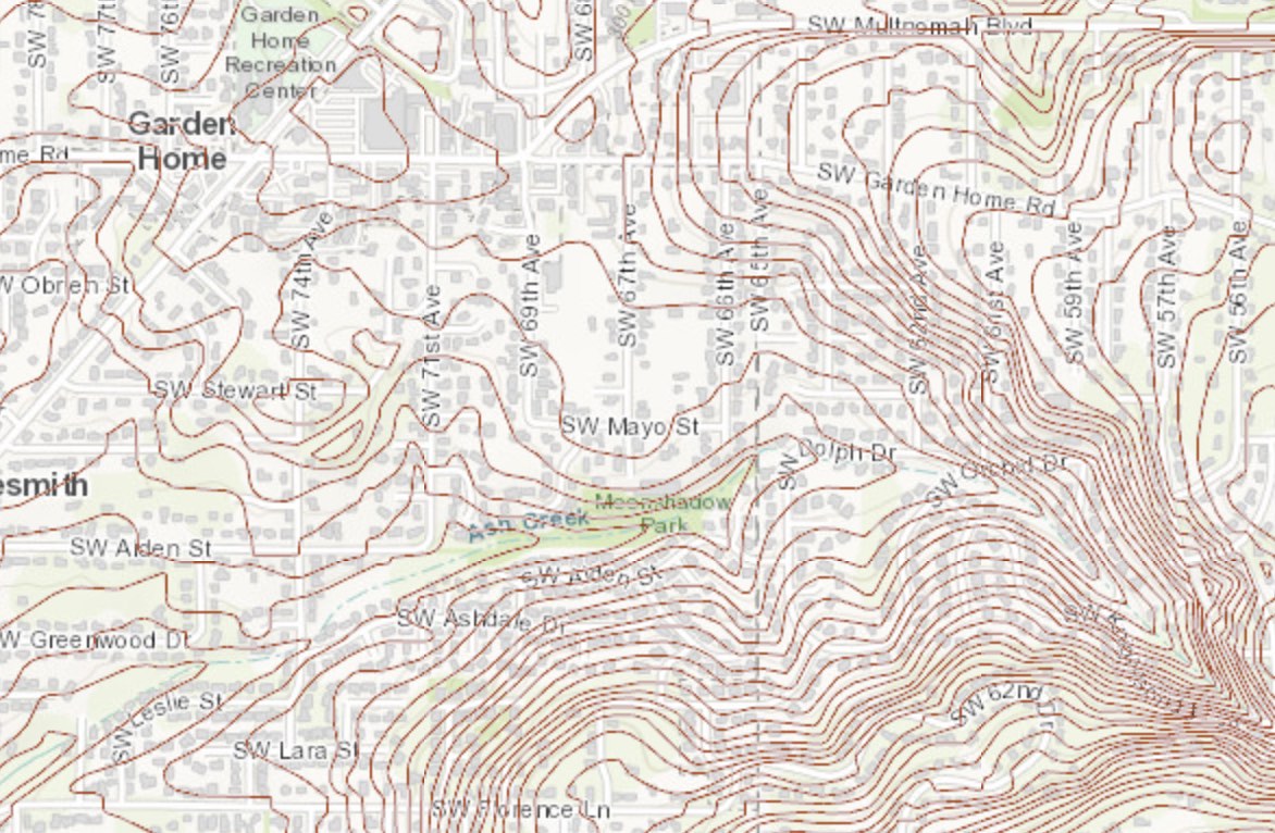
10 foot contours of the Portland Metro area. databasin ![]()
See Crossing Wiki Creek reconstructed from observations decades earlier.