Steps into the woods, but where from there?
Saturday, December 5, 2020
45.483158333333336, -122.68091666666668
google map ![]() 45.4831083, -122.6807639
45.4832389, -122.6811056
45.4838611, -122.6815806
BOUNDARY 45.4823374, -122.6840983
BOUNDARY 45.4844672, -122.6799578
45.4831083, -122.6807639
45.4832389, -122.6811056
45.4838611, -122.6815806
BOUNDARY 45.4823374, -122.6840983
BOUNDARY 45.4844672, -122.6799578
Property lines and topographic slopes indicate in some past a road went up the hill, first north then south to Ralston Drive.
Saturday, November 20, 2021
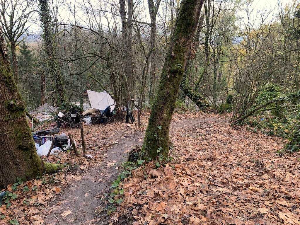
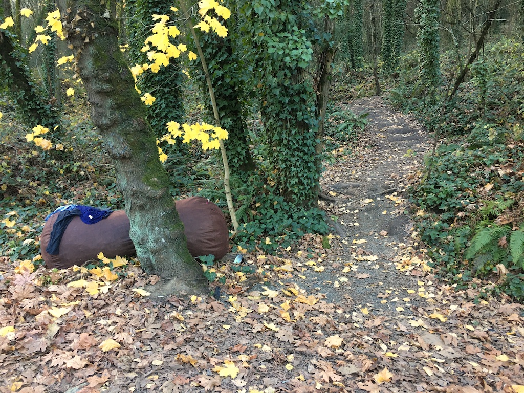
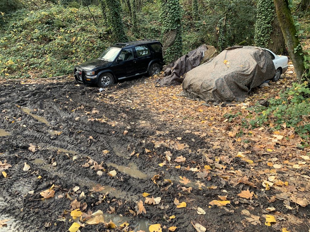
A year passes. I found steep slope but no sign of a road from above. The trail from below did go up and to the north. I found a large camp near where the road bed must have turned south but seemed a little too populated to continue.