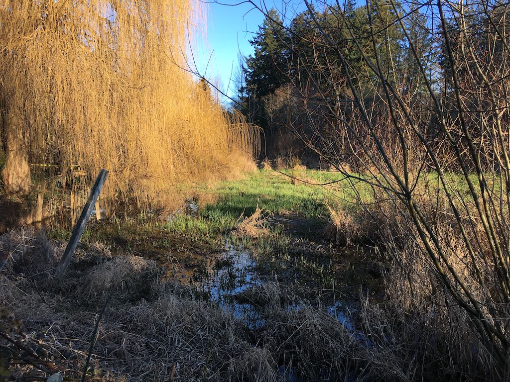
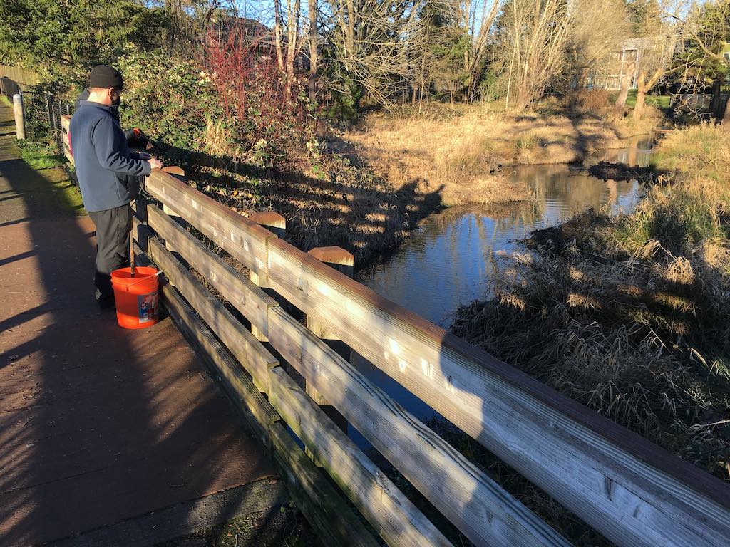
I took east and west facing photos from the bridge at the south end of the wetland.
Monday, January 18, 2021
45.49445, -122.79713333333333
google map ![]() 45.49672777777778, -122.79474722222223
BOUNDARY 45.4982325, -122.7902860
45.49672777777778, -122.79474722222223
BOUNDARY 45.4982325, -122.7902860
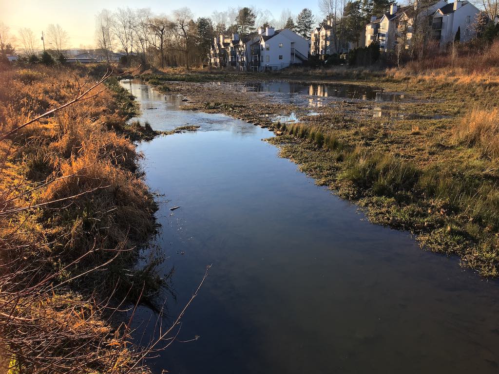
I beat back blackberry bushes to get one more look at Messinger Creek half way to Walker Road. Then no more access that hasn't been gated by Tri-Met rail.