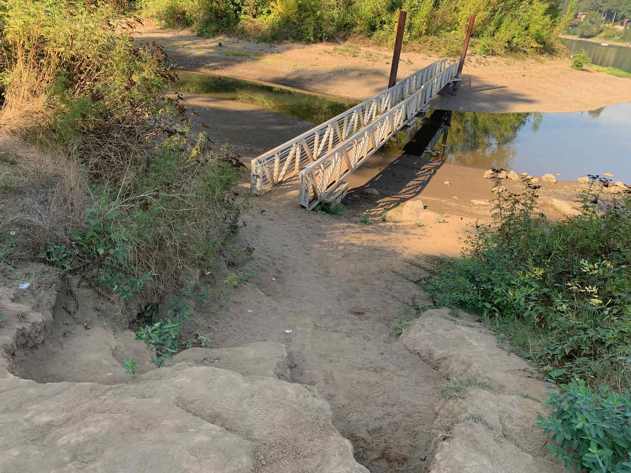
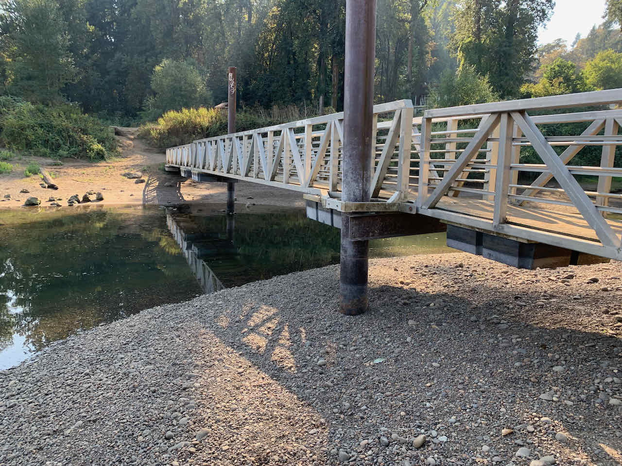
The park map shows this as a "seasonal" bridge. When I first encountered it on a sunny day in January it had been turned to the middle of the channel. Not today.
Friday, October 7, 2022
45.3843472, -122.6248083
45.3847306, -122.6251528
google map ![]() 45.3858222, -122.6246028
45.3851722, -122.6251727
45.3858, -122.6254194
45.3886417, -122.626275
45.3904111, -122.6277
45.3858222, -122.6246028
45.3851722, -122.6251727
45.3858, -122.6254194
45.3886417, -122.626275
45.3904111, -122.6277
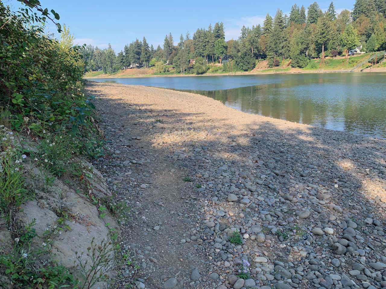
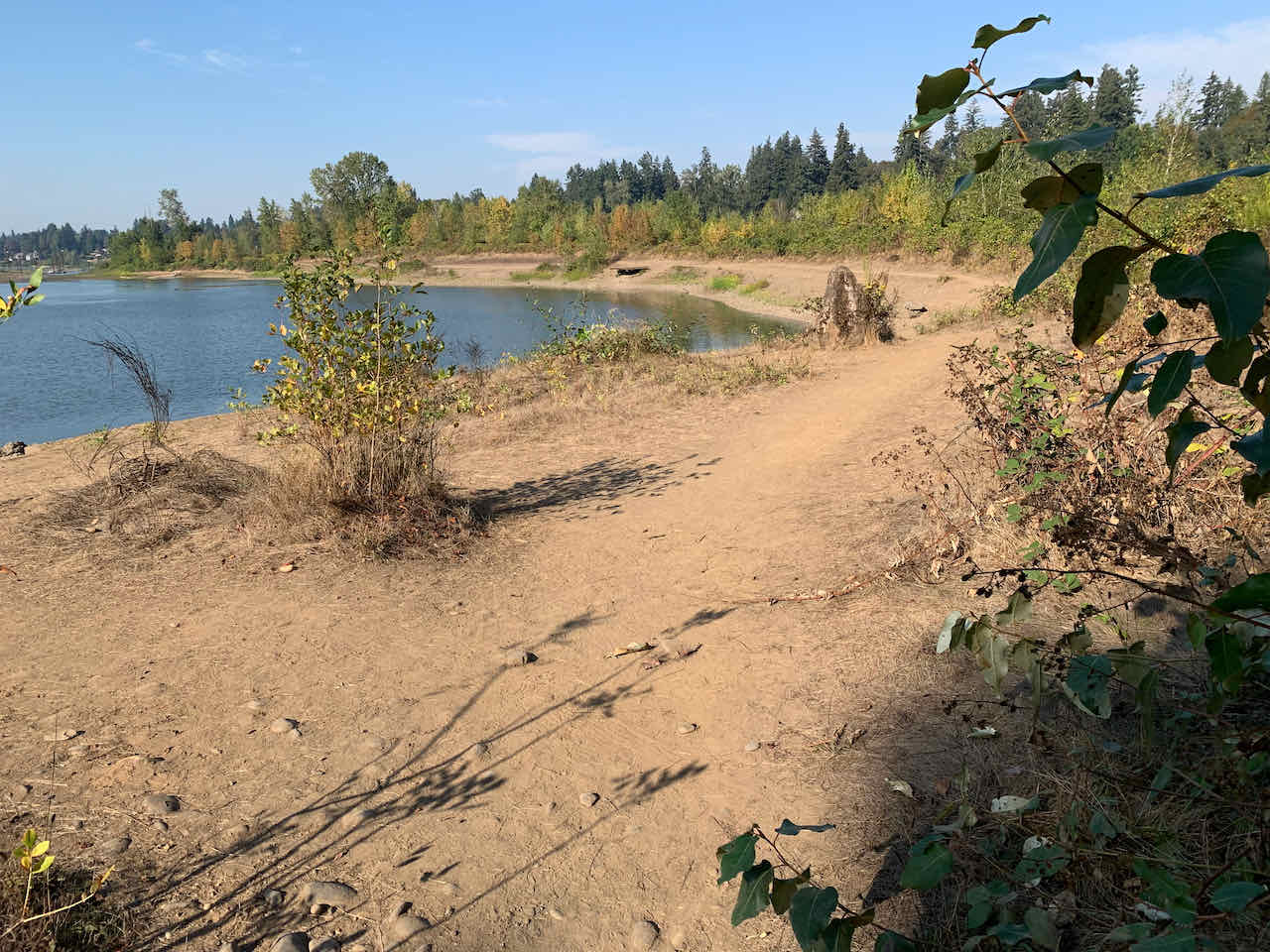
The trail of stones on the east shore ran out quickly. I was told the west side was much better.
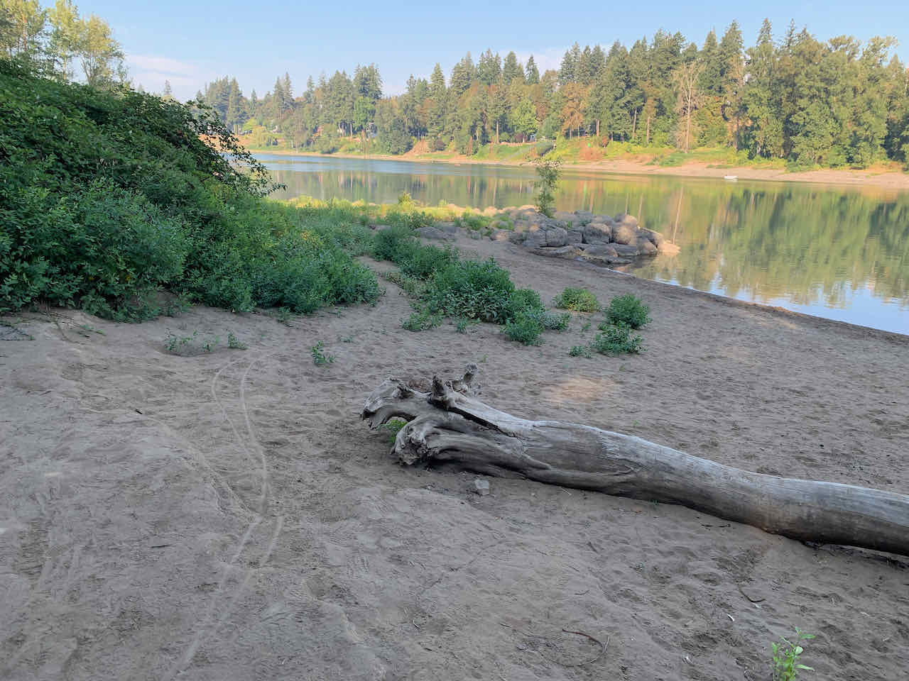
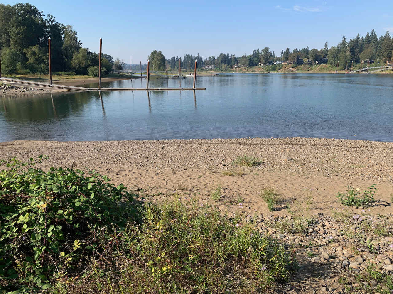
The view down river from the norther tip of the island.
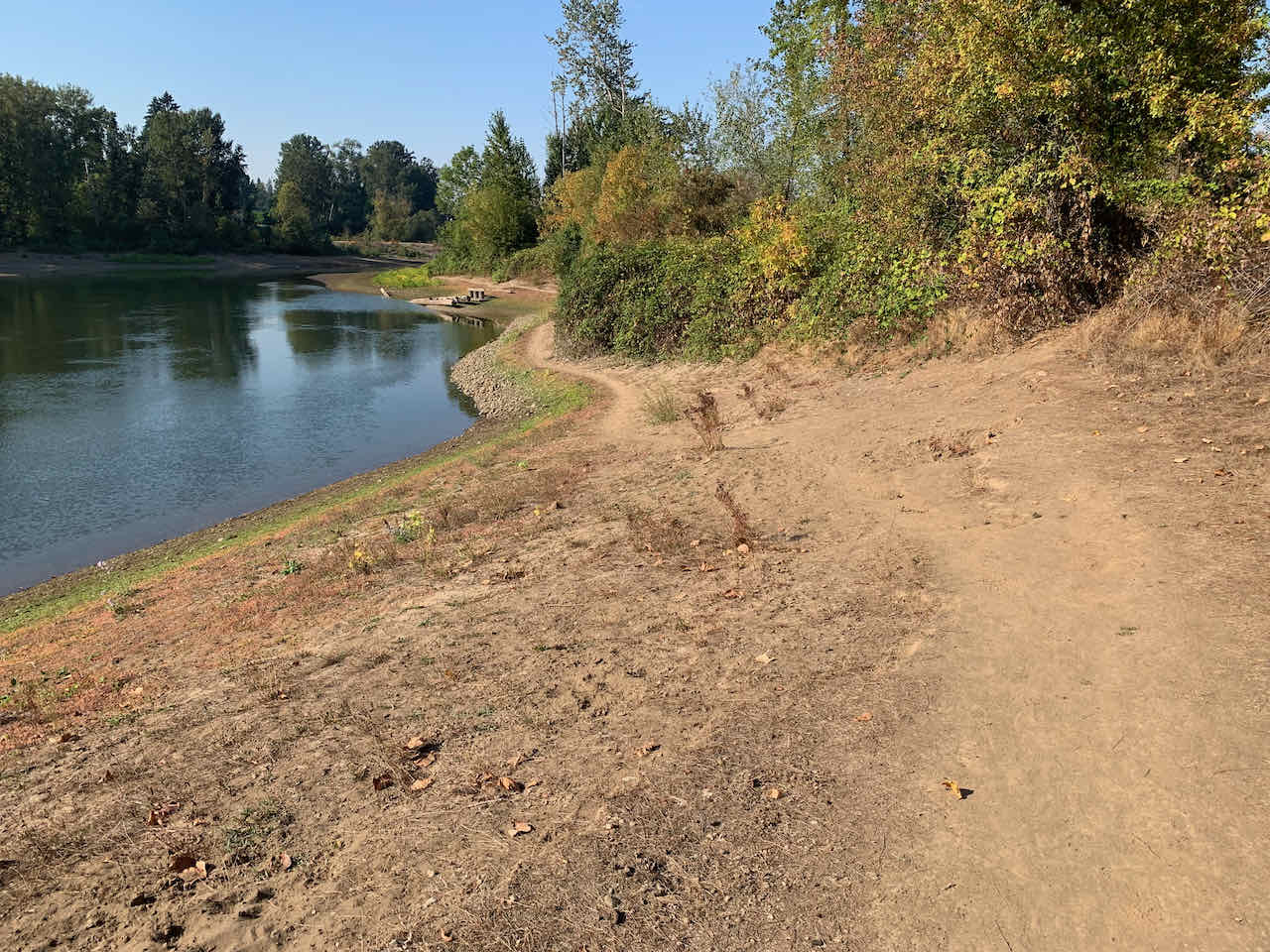
After returning to the mainland I followed the shoreline to find this gentle return to the park trails.