
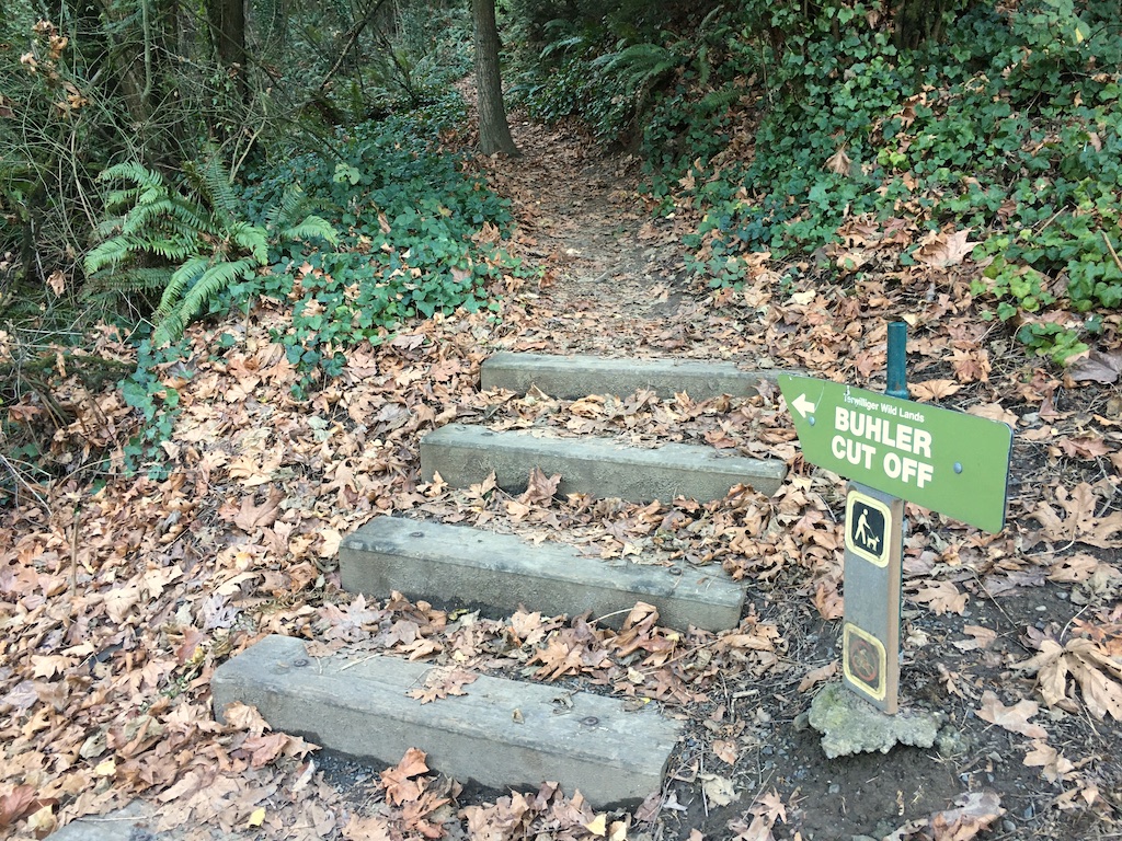
No bikes. We'll see on another day.
Saturday, December 5, 2020
google map ![]() 45.4872144, -122.6827759
45.4873610, -122.6855707
45.48761666666667, -122.68486666666666
45.48771388888889, -122.68400555555556
45.48700277777778, -122.68321111111112
45.4872144, -122.6827759
45.4873610, -122.6855707
45.48761666666667, -122.68486666666666
45.48771388888889, -122.68400555555556
45.48700277777778, -122.68321111111112
Wednesday, March 10, 2021
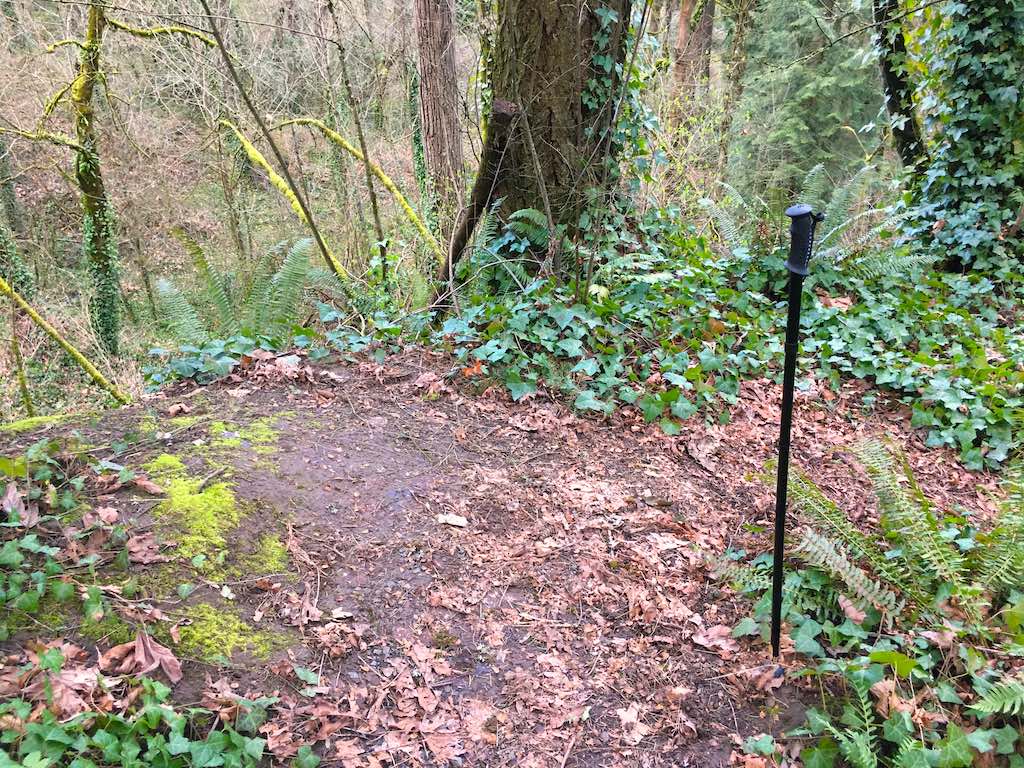
I walked the trail down and then back up again. Might have been able to ride it. Not too muddy. Switchbacks all the way which keeps grade down. One spot with deadfall over the trail but not too hight to lift.
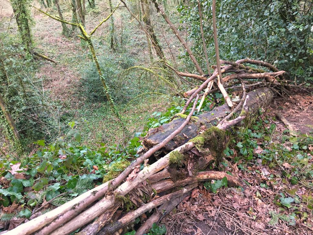
Steep drops to either side. Here logs and branches make for a barely acceptable barrier above a cliff.
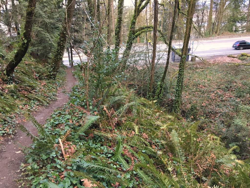
I counted 400 paces on the way back up. That multiplies out to 1600 steps both ways. I rested on the park bench at the top and texted my wife trying to impress her.
It looks like that was an elevation gain from 280 to 435 for 155 feet of vertical. See Topo Map
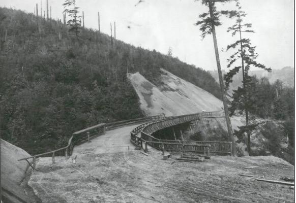
Terwilliger Trestle, 1912. post ![]()